icon Email : info@gtt.com.sa

icon +966 55 304 8855 +966 50 995 1522 +966 55 099 9551

product vector

MC Grade for Dozers

Experts in Machine Control

Applications since 1996

  • Mining - Landfill - Piling
  • Dredging - Construction
  • Contract Drilling
  • Custom Applications

Safety Benefits

  • Increase operator situational awareness through proximity warnings between machines and fixed assets
  • Increase operator awareness by utilizing 2D and 3D watch zones and warning zones
  • Increase safety for surveyors and engineers by reducing survey time in the field

The New Carlson Command

A comprehensive data storage and control software package that gives management and engineering a view of what is happening in real-time by moving pit maps, dashboards, and KPI screens. All information is stored for real time and port process reporting and analysis as well as playback of events.

  • Productivity analysis
  • Data management of single or multiple sites
  • Direct machine to machine communication and data sharing with live and historical 3D machine playback
  • In cab monitoring and training from office
  • Full cut/fill color map with real-time surface updates
  • Create and customize tasks, delays and down codes

Features

  • Consistent user interface across all solutions
  • Flexible and easy to use interface
  • Multiple view options available in profile, section and plan
  • Directly import from open CAD and Carlson platforms
  • DWG, DXF, TN3, GC3, LN3, TIN, GRD
  • Track machine utilization and task analysis
  • Supports an extensive list of GNSS receiver drivers
  • NTRIP and VRS compatible
  • Able to handle large surface files
  • Real-time machine system view and troubleshooting capability from anywhere in the world
  • Peer to peer communication and information sharing capability between all machines in the field

Benefits

  • Increase productivity with better push strategies for production dozing
  • Recognize considerable cost savings in reclamation projects
  • Build simple or complex pads and slopes in the field. flat/single/dual/multi
  • Mine to design and reduce rehandle
  • Update surfaces and cut/fill color map real time across the entire project
  • Provide your operator with more information
  • Stockpile safety and volume management

GTT Clients

GEOGRAPHIC TECHNOLOGIES TRADING

They are really nice.

GTT Partners

GEOGRAPHIC TECHNOLOGIES TRADING

This is what we've been working on

partner Image
partner Image
partner Image

GTT prizes

GEOGRAPHIC TECHNOLOGIES TRADING

This is what we've been working on

"Geospatial DEVELOPMENT Awards"

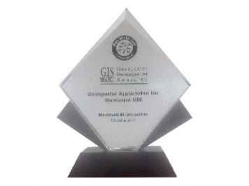
in Geospatial Application for Municipal GIS from GIS DEVELOPMENT in the Middle East.

img

GTT Updates

Sign Up for Email Updates!

Knowing about all the recent developments in the industry

map image